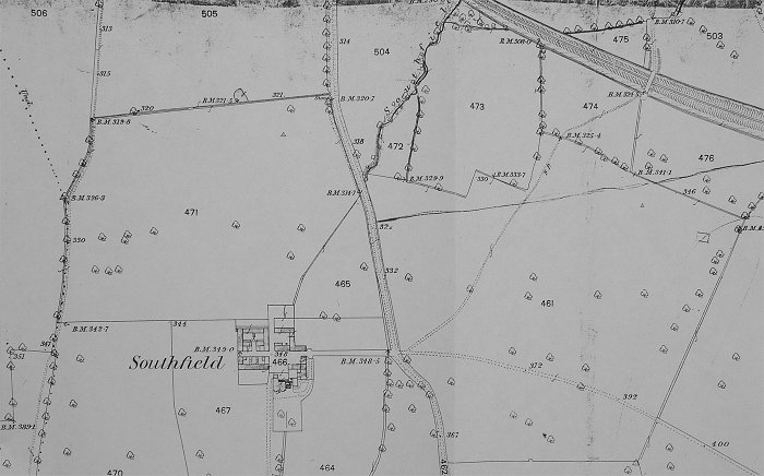
With north at the top of the map, the line from Charlton Kings station (just off the map on the right) heads from right to left towards Leckhampton Station. The Leckhampton Hill diversion to a quarry would snake across country to Southfield before heading south up Leckhampton Hill. Lilley Brook golf course now exists on the right below what was the line. Sandy Lane is the road that can be seen going north/south across the map
Back to